Sea Level Rise
Over the past century, sea level on the Hudson River has risen about a foot, and the rate is projected to accelerate. What does that mean for our land and communities?
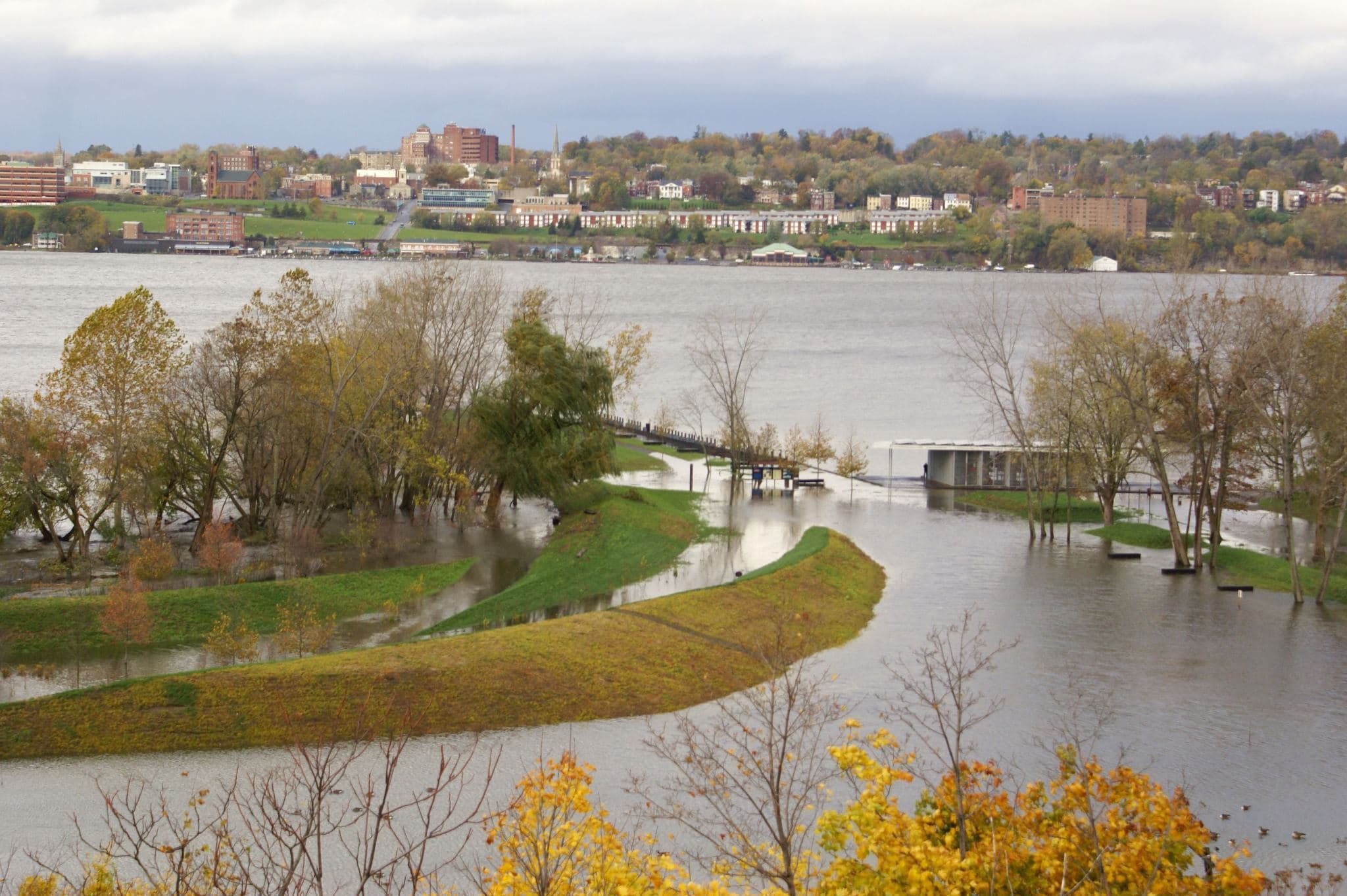
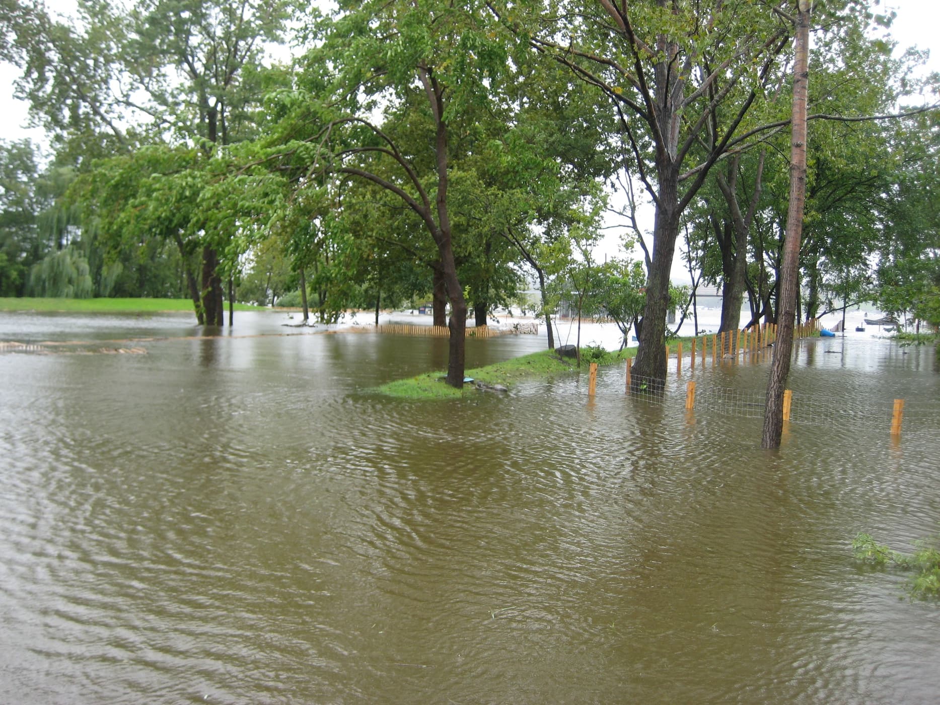
The Hudson River is an extension of the Atlantic Ocean, a 150-mile-long estuary that stretches from the Narrows in New York Harbor to the Federal Dam at Troy. Sea level along the entire estuary is thus linked to any changes in water levels in the Atlantic and around the globe.
Over the past century, sea level on the Hudson has risen about a foot — more precisely about 2.8 mm per year — a rate greater than the global average. In recent decades, the rate of sea level rise has accelerated, averaging about 4.5 mm per year since 1991.
The best data available indicates that we can expect the Hudson’s water levels to continue rising six feet or more by the end of this century, and perhaps that much again during the next century.
What’s at Stake?
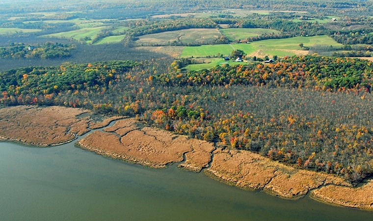
Over 9,000 acres of riverfront lands lie within the expanding reach of daily high tides, threatening both the most critical river habitats and approximately 3,600 households and 6,900 people. Accompanying shifts of flood-prone areas will put approximately 6,400 more households and 12,200 people at greater risk from damaging storm surges and floodwaters.
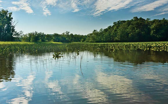
At the same time, the most critical habitats of the Hudson River ecosystem — the 13,000 acres of tidal wetlands and shallow water vegetation beds — will be increasingly stressed by rising water levels.
What We’re Doing
As both a mission-driven organization and a stakeholder owning over 1,000 acres of protected lands along the river’s edge, Scenic Hudson is working to catalyze long-range planning for sea level rise along the estuary. Here are some helpful tools we have developed:
- Sea Level Rise Mapper: An interactive map showing the estimated water depth for each increment of sea level rise. GIS users can also download the data here.
- Protecting the Pathways: An interactive guide to preserving our tidal wetlands in the face of sea level rise.
- Hudson Valley Flood Resilience Network: A network of communities working to plan and implement sea-level rise adaptations. Scenic Hudson is a founding partner.

