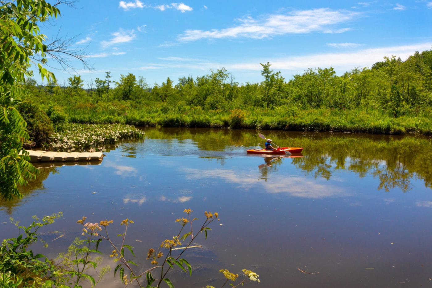
A lively wetland, dramatic river vistas, and a shoreline picnic destination.
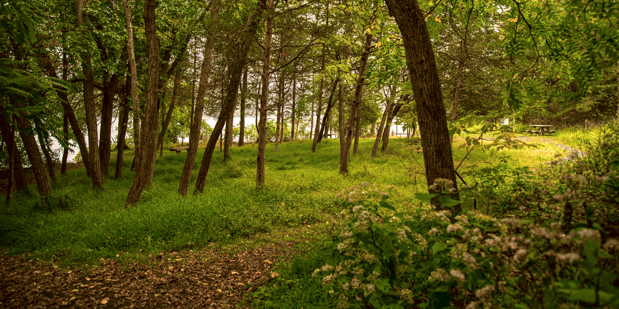
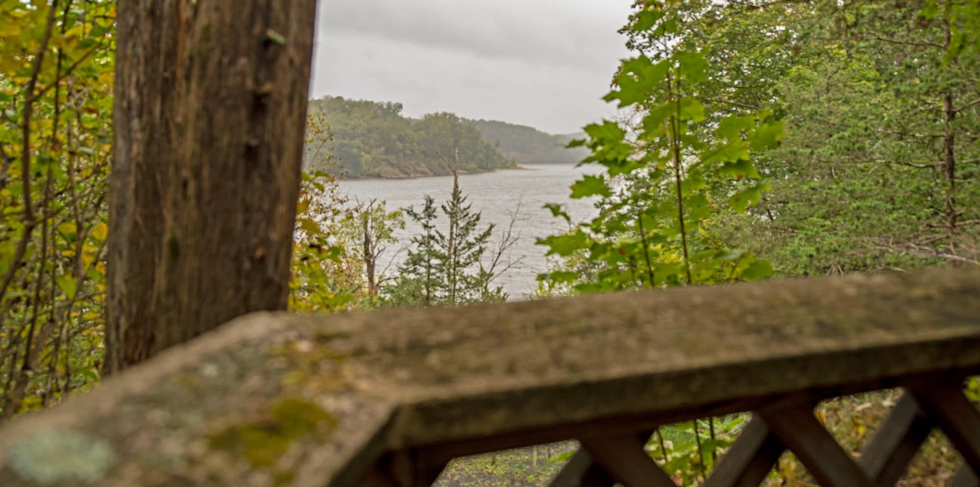
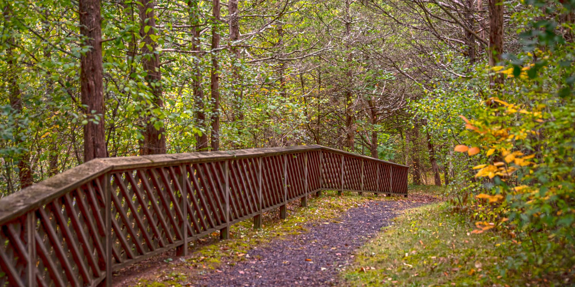
COXSACKIE, Greene County (7 acres) — Named to tell mariners that they were midway between Hudson and Coxsackie, Four-Mile Point Park offers an astonishing variety of outdoor adventures considering its size. An observation platform invites inspection of Vosburgh Swamp, home to many birds and amphibians. Grand Hudson River views await those who reach a bluff-top overlook. And the walk is all downhill to the park’s pièce de résistance — the river itself, where a fishing pole, a kayak, or a picnic would come in handy, but none are necessary to savor the scenic splendor.
Free and open year-round, sunrise to sunset.
HEALTH AND SAFETY
All special events and group outings must be pre-approved. To apply for a permit, please fill out this form for special events or this one for group outings, and our team will be in touch. If you have any questions, email Anthony Coneski, Senior Community Projects Manager, at aconeski@scenichudson.org.
Thanks for doing your part to protect yourself and others so we can continue to make Scenic Hudson parks and preserves available for all.